Supporting open source software for research
Our contribution to the AniMove plugin for QGIS
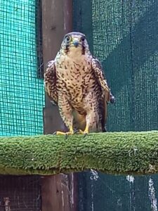
We are proud to announce that LIFE Lanner, and specifically project coordinator Ente Monti Cimini – Riserva Naturale Lago di Vico has financially supported the porting of the AniMove plugin to QGIS version 3. Recently, we presented the plugin at the XII Congress of the Italian Mammal Society with a poster that can be found here. Now we are waiting for GPS data from our released lanners to put to use the latest version of the plugin with our data.

Animal ecology made easier thanks to open source software
Nowadays, such a big part of ecology is data analysis. Even more so for behavioural and movement ecology. Collecting and visualizing presence data, for example, is often the first step to increasing our knowledge on a species. This kind of research poses a variety of challenges: designing a survey, performing it in the right timeframe, collecting data in a standardized way…
Analyzing data is ever more possible thanks to open source software such as QGIS. QGIS is a free and open source geographic information system, maintained by a global community of developers. It is used all around the world due to its enormous potential and the availability of additional plugins. AniMove, a plugin developed by Faunalia, implements kernel analyses with multiple algorithms. This makes QGIS a more efficient environment to carry out wildlife distribution research. The plugin can be downloaded freely here.